S
640 x 480 px
FREE
M
1920 x 1440 px
FREE
L
4032 x 3024 px
FREE
Upgrade to download up to 10 images at a time.
Standard license
This [Yamaniya] Takamatsu city area and Yashima (low clouds) photo can be used for personal projects. It can also be used for commercial projects in some cases. Consulte Mais informação
Image information
O Criador:スターゲイザー☆2501
Title: [Yamaniya] Takamatsu city area and Yashima (low clouds)
Image ID: 25157061
Baixar: 0
Model release: N/A
Property release: N/A
Categorias:
edifícios-arquitetura / [Yamaniya] Takamatsu city area and Yashima (low clouds)
natureza-paisagem / [Yamaniya] Takamatsu city area and Yashima (low clouds)
natureza-paisagem / [Yamaniya] Takamatsu city area and Yashima (low clouds)
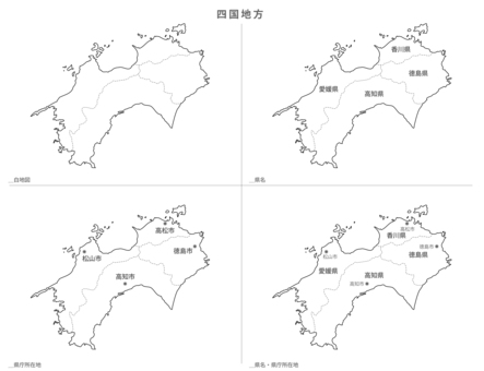
![[Yamaniya] Takamatsu city area and Yashima (low clouds), takamatsu cidade, cidade, edifício, JPG](https://thumb.photo-ac.com/ed/edfdeb7567ea7d2322041deeaacc4a95_t.jpeg "[Yamaniya] Takamatsu city area and Yashima (low clouds), JPG")
0
Share
Like
Antivirus
S
640 x 480 px
FREE
M
1920 x 1440 px
FREE
L
4032 x 3024 px
FREE
Upgrade to download up to 10 images at a time.
Standard license
This [Yamaniya] Takamatsu city area and Yashima (low clouds) photo can be used for personal projects. It can also be used for commercial projects in some cases. Consulte Mais informação
Image information
O Criador:スターゲイザー☆2501
Title: [Yamaniya] Takamatsu city area and Yashima (low clouds)
Image ID: 25157061
Baixar: 0
Model release: N/A
Property release: N/A
Categorias:
edifícios-arquitetura / [Yamaniya] Takamatsu city area and Yashima (low clouds)
natureza-paisagem / [Yamaniya] Takamatsu city area and Yashima (low clouds)
natureza-paisagem / [Yamaniya] Takamatsu city area and Yashima (low clouds)
Similar free stock photos
View all
Similar free illustrations
View all


Similar free illustrations
View all Comments
Login or Sign Up to leave a comment